Use these icons: Email us, Facebook Page, Instagram, Twitter, iTunes for podcasts, and our Youtube channel
Three Fingers Mountain/Goat Flats
GRANITE FALLS MOUNTAIN LOOP AREA
Miles: 15 to Goat Flats and 19 to lookout both one way
Elevation: 5900 feet gained to lookout
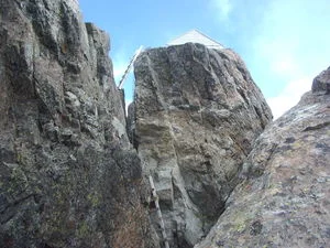
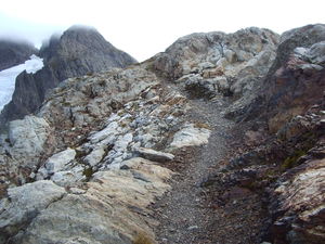
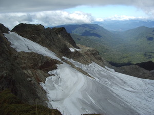
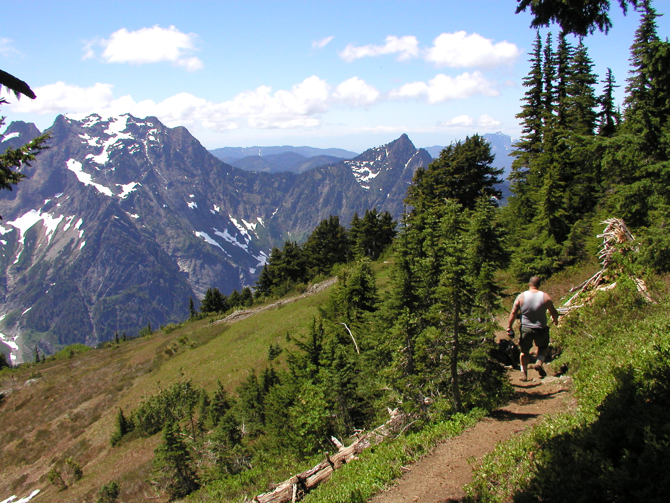
First of all, the road has been decommissioned at about 10 miles, denying access to the original trailhead. We recommend a bike for the first section. The trail starts at the Canyon Creek bridge and you walk along the old road for eight miles to Tupso Pass where the trailhead was. Now on the old trail, the path may be very brushy as it climbs two miles to Saddle Lake. Leaving the trees behind, the meadows are soon all around you as you near Goat Flats. This is a great spot to camp or turn around 15 miles from your car. The trail to the summit takes you over Tin Can Gap and then scrambles to the lookout cabin at 19 miles. The views are well worth the final climb up a series of ladders, and the lookout has been maintained by the Everett Mountaineers. Most years the final push from Tin Can Gap is partially covered in snow, and an ice axe is needed for safety.
- Get there: This trail is at the end of Green Mountain Road, or Forest Service road 41, off of the Mountain Loop Highway before the town of Robe. The Old Robe Trail is on the direct opposite side of the highway. There is one major junction at which you stay left. The road ends just before the bridge over Canyon Creek nearly 10 miles from the highway.