Use these icons: Email us, Facebook Page, Instagram, Twitter, iTunes for podcasts, and our Youtube channel
North Fork Sauk River
DARRINGTON MOUNTAIN LOOP AREA
Miles: 11 roundtrip
Elevation: 1,000 feet gained
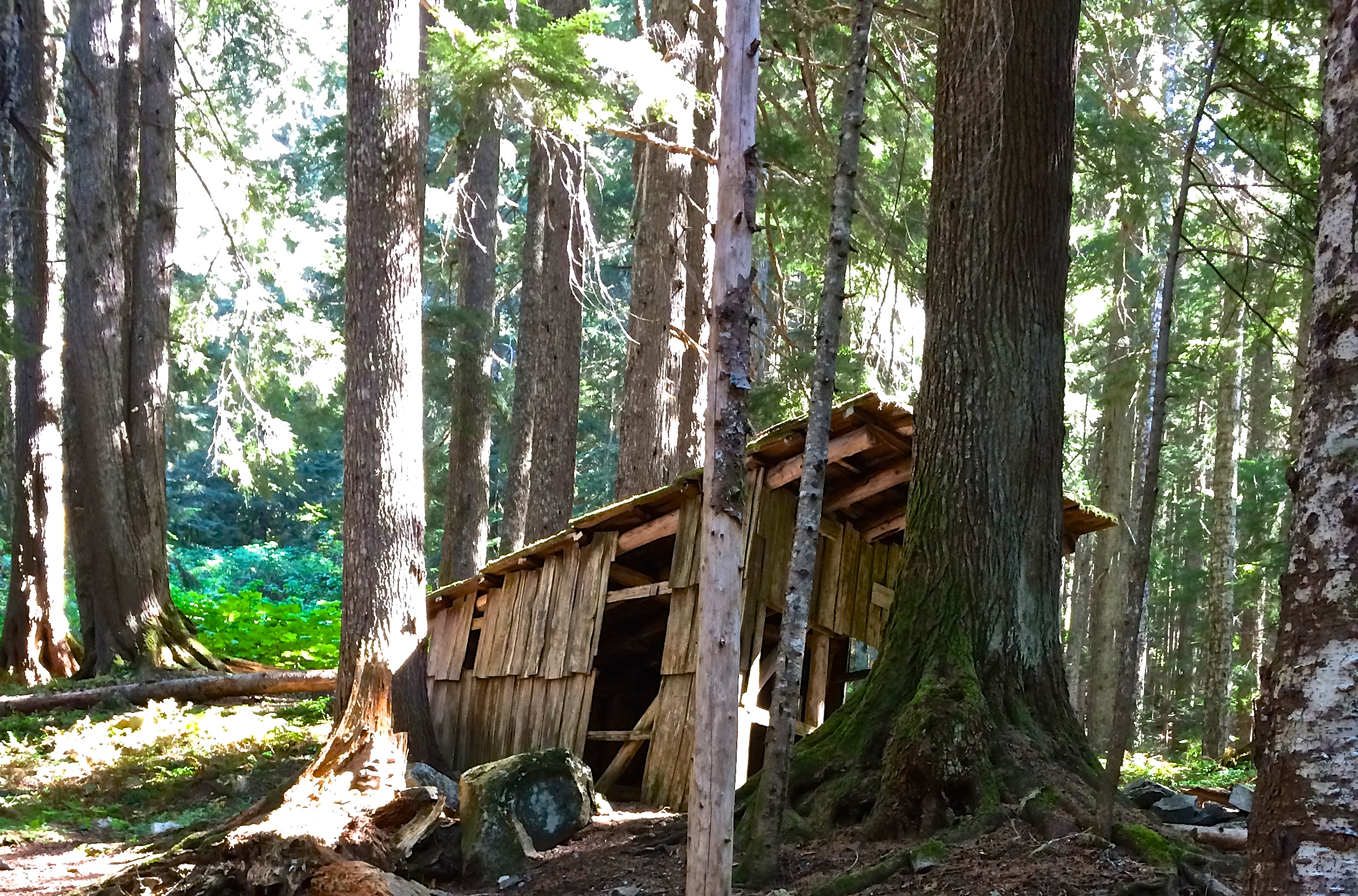
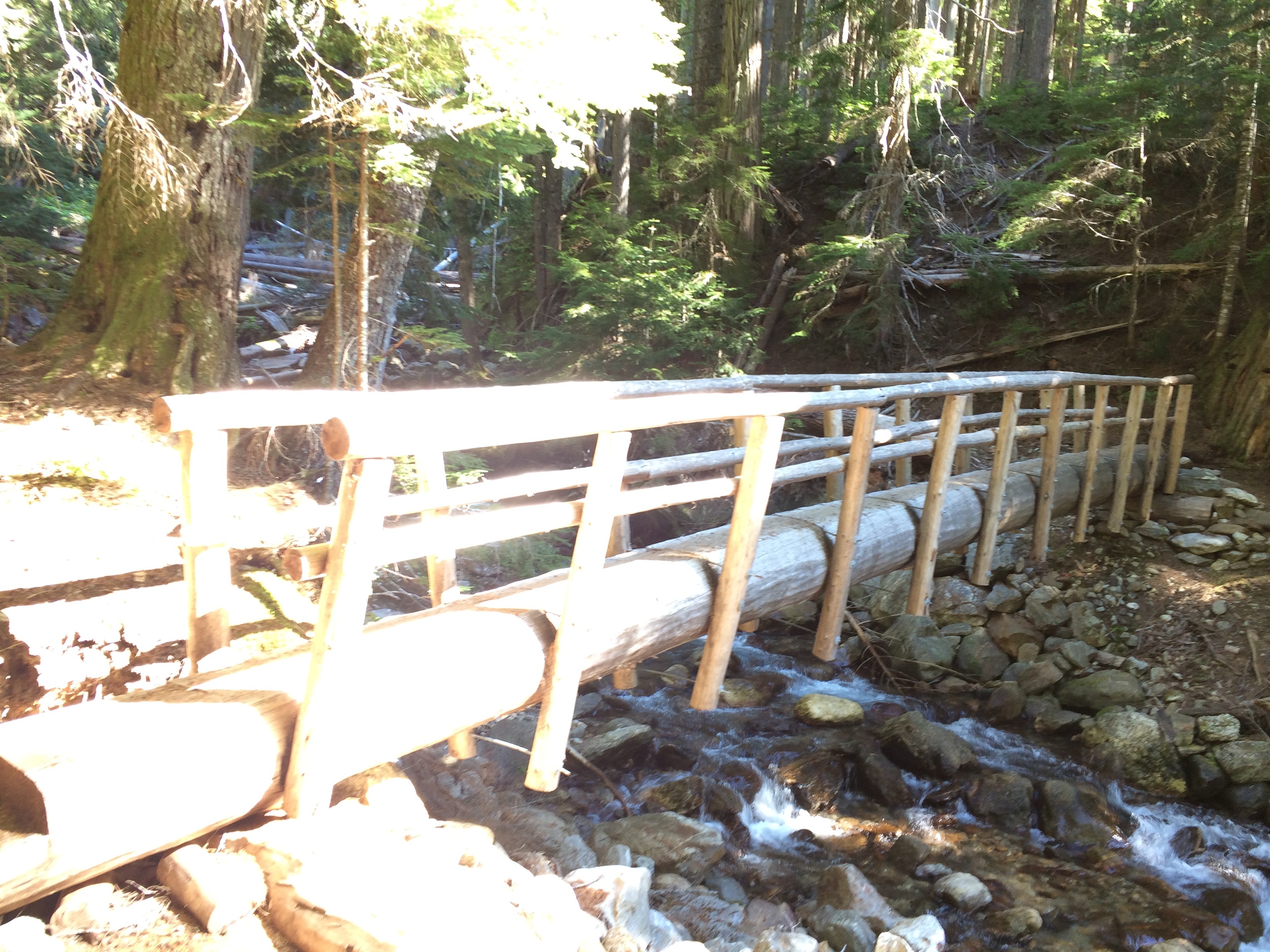
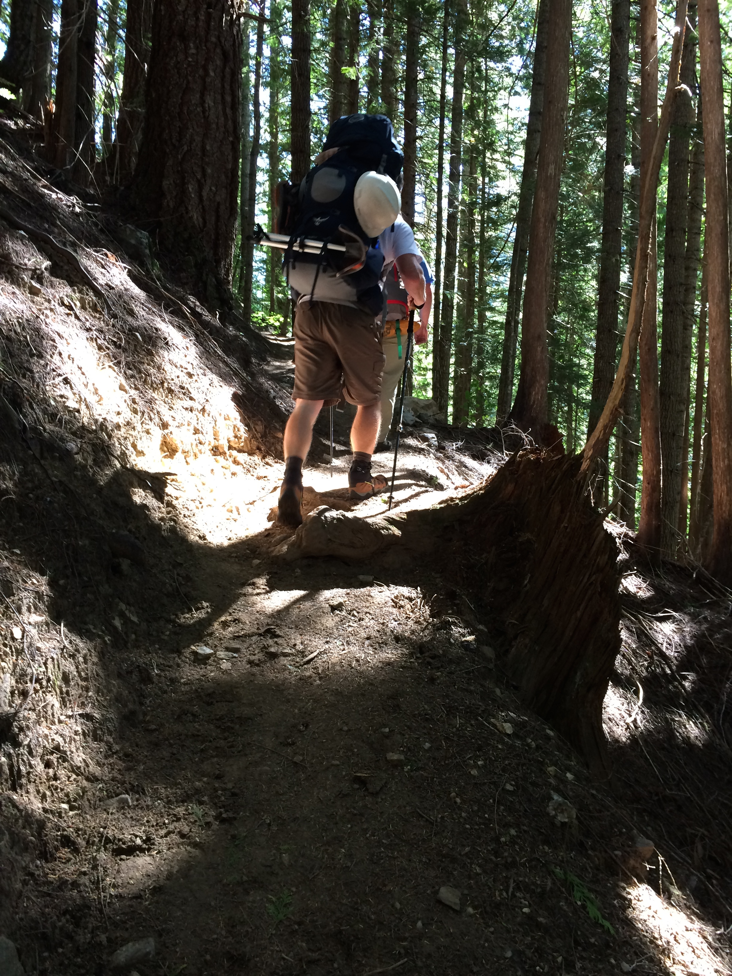
This is a mellow trail all the way to Mackinaw Shelter, which is old, but still standing. Following the river up to an intersection with the Pilot Ridge trail at two miles, the path doesn't offer much variety beyond the large forests and small creeks along the way. The trail crosses Red Creek where there are great campsites and a backcountry toilet. After going through two open avalanche fields that can be very hot in sunny weather, the trail reaches the shelter and an abundance of campsites. This is the last reliable source of water on the trail, which continues, gaining 3,000 feet in three miles to reach the Pacific Crest Trail near White Pass / Red Pass.
- Get there: Follow Highway 530 to the major four-way stop at the gas station in downtown Darrington. Turn right and continue 16 miles until turning left onto FS road 49. Turn left into a large trailhead parking lot after 6.5 miles.