Use these icons: Email us, Facebook Page, Instagram, Twitter, iTunes for podcasts, and our Youtube channel
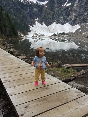
Deception Pass
Anacortes Area
Miles: Nearly 40 miles of trails
Elevation: Low point = sea level - High point 484 foot Goose Rock
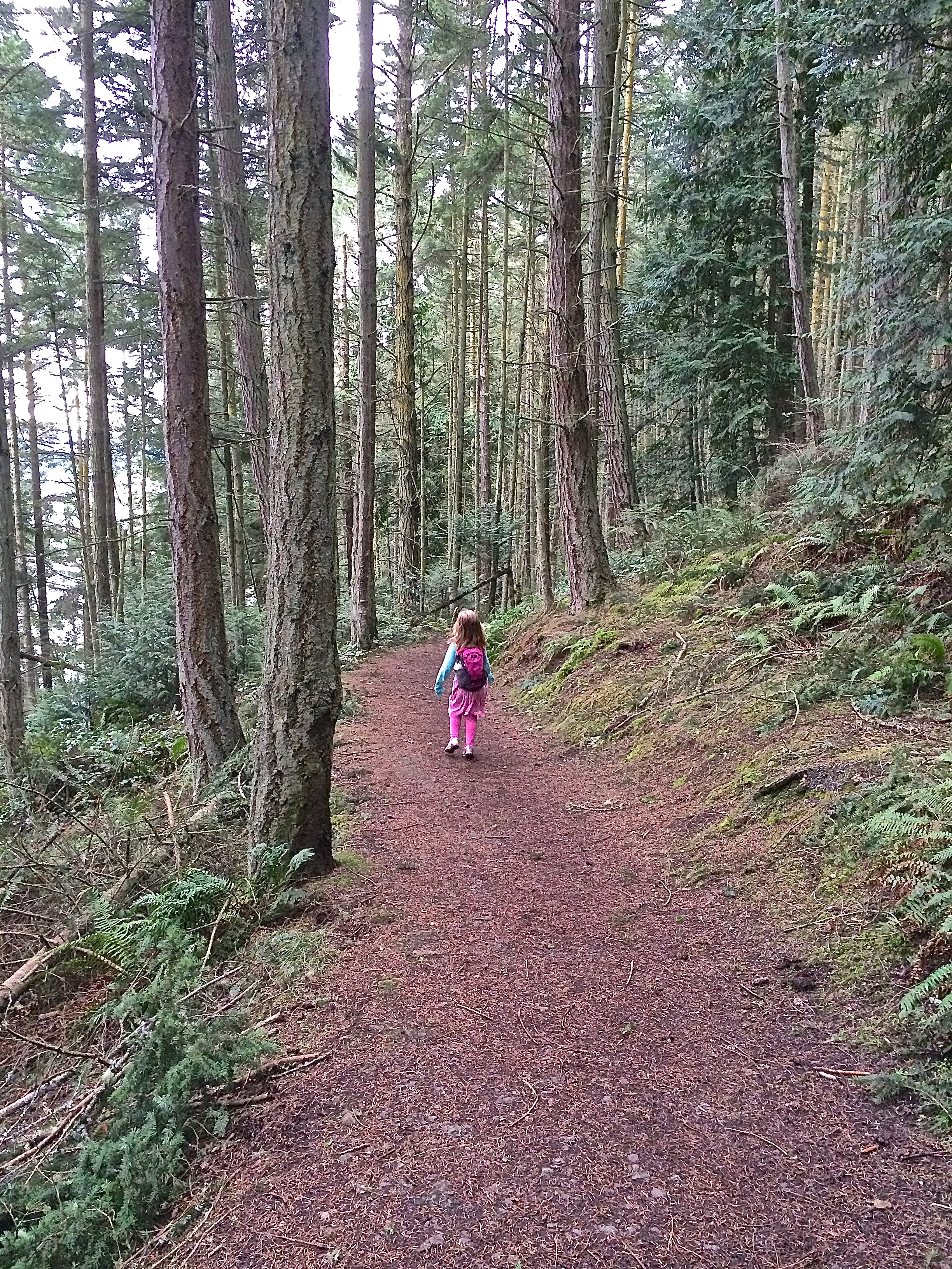
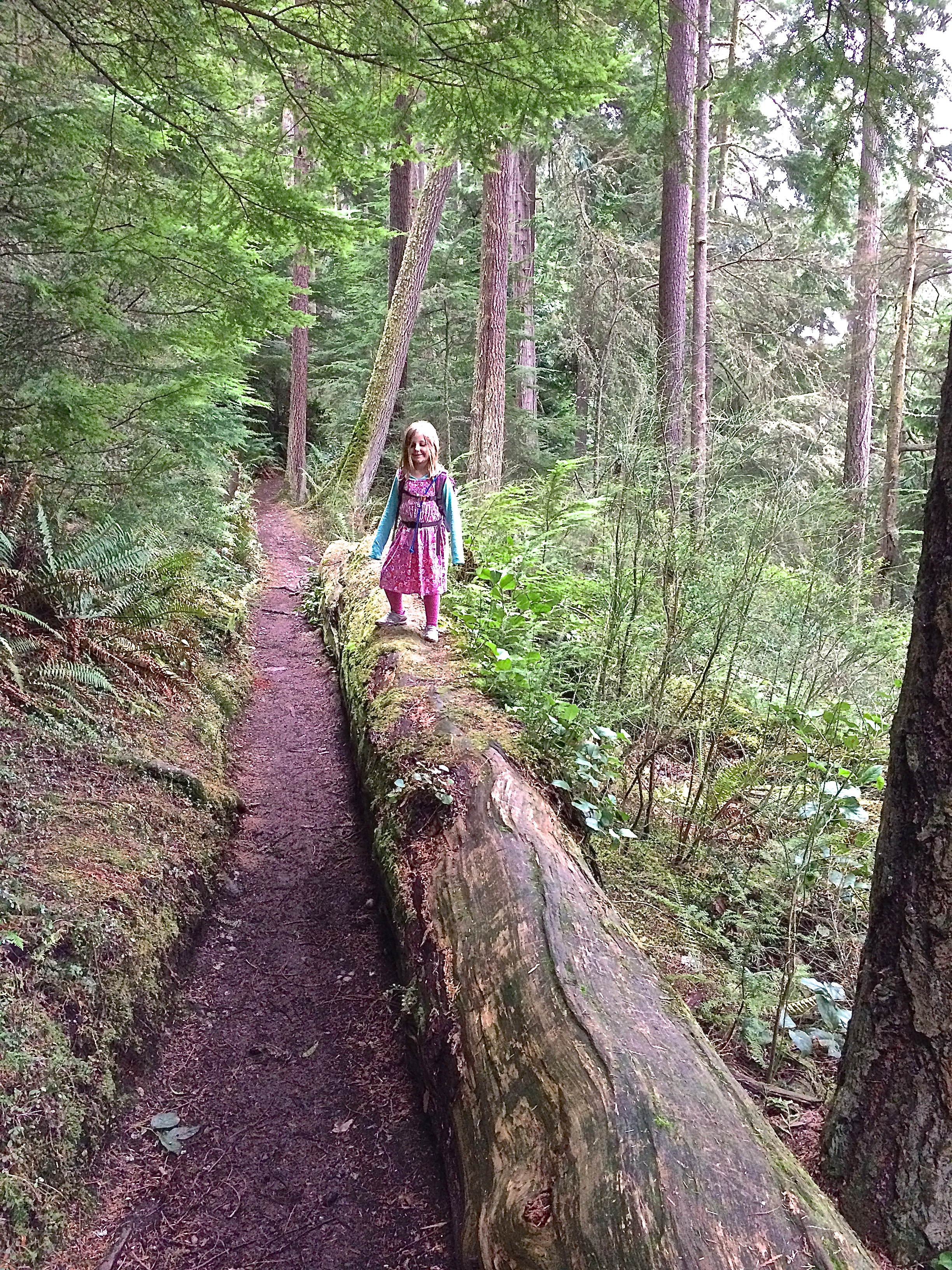
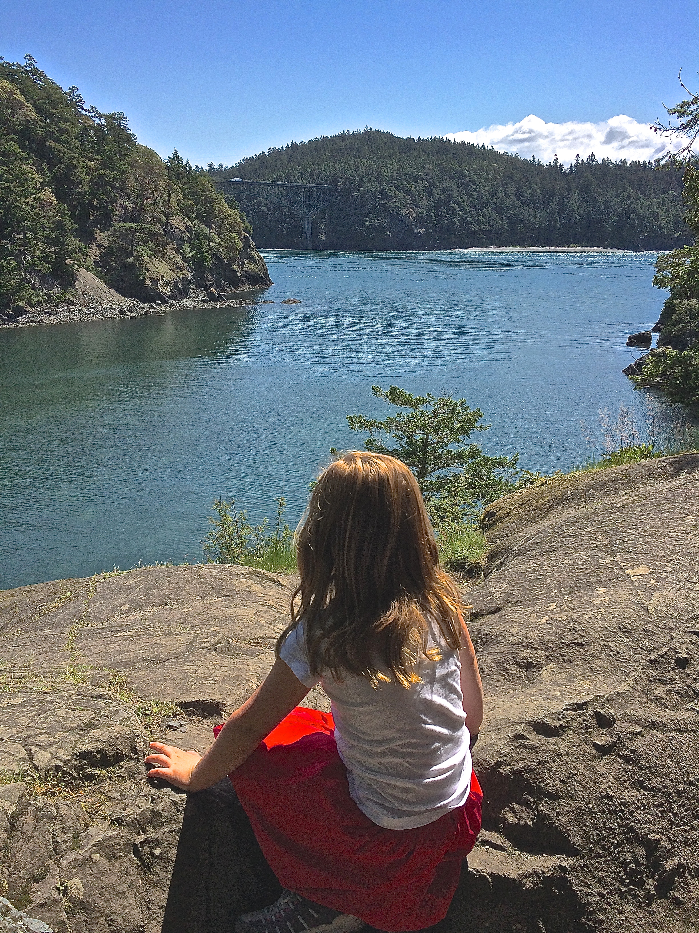
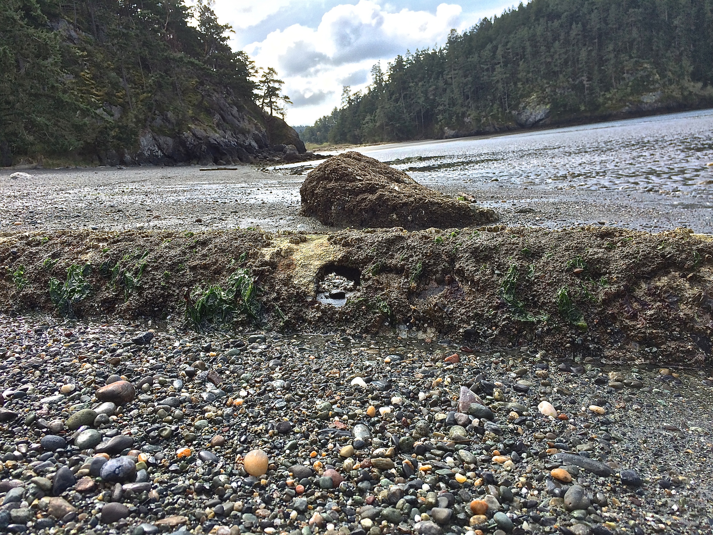
There is no trail within this state park that cannot be done with kids. Do not miss Goose Rock for views up high and most of the trails have views of the water. The easiest way to explore the extensive system of trails is to ask the Rangers at the gates for a complimentary map.
Check out this website for all of the information including the maps: http://www.deceptionpassfoundation.org/
- Get there: Take I-5 and exit west on Highway 20. Follow it to the stoplight on the other side of Deception Pass Bridge. Turn right at the light and talk to the Rangers at the booth there.