Use these icons: Email us, Facebook Page, Instagram, Twitter, iTunes for podcasts, and our Youtube channel
Boulder River
Darrington / Oso Area
Miles: 8.5 miles roundtrip - 2.8 miles roundtrip to waterfall
Elevation: 700 feet gained
Darrington/Oso area
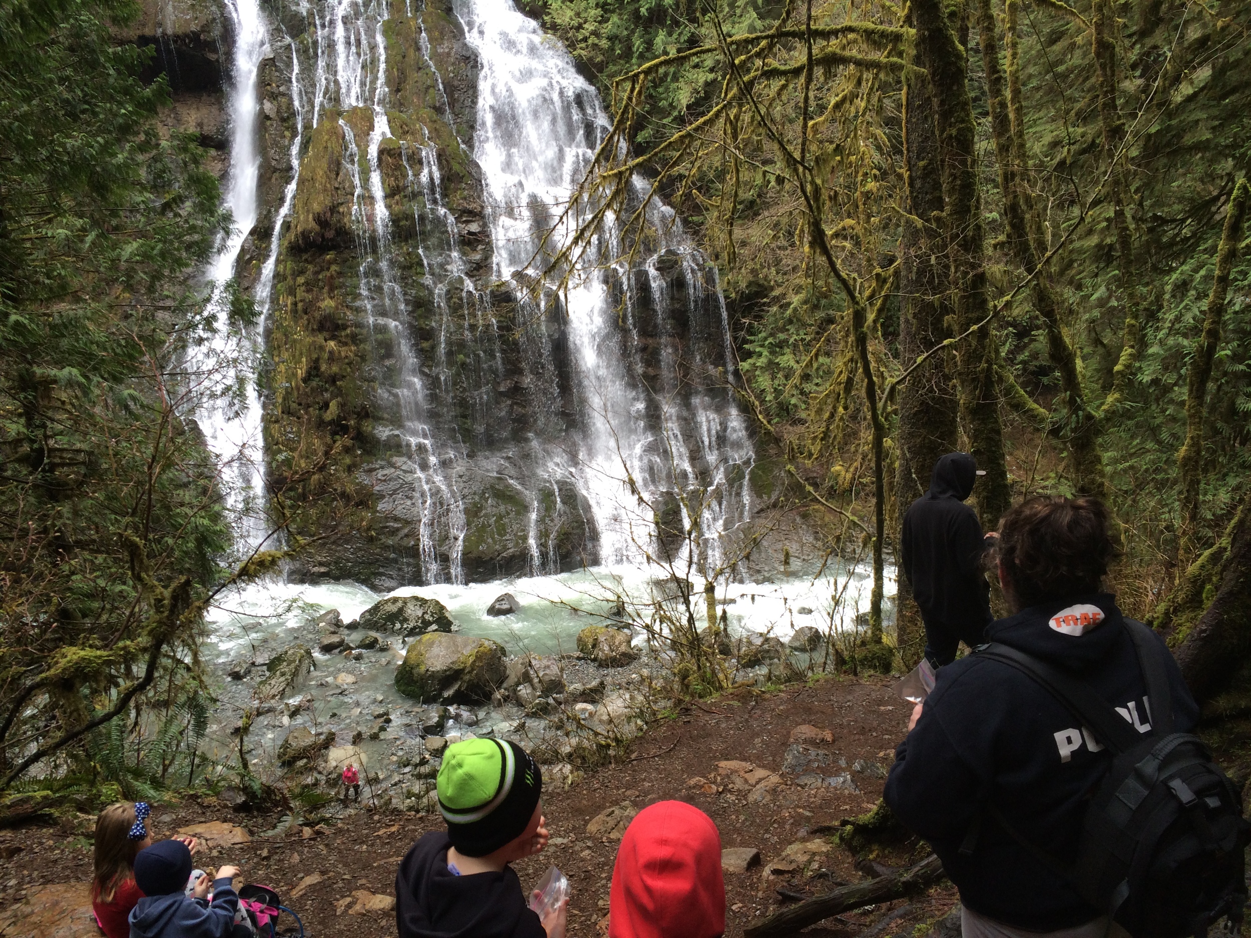
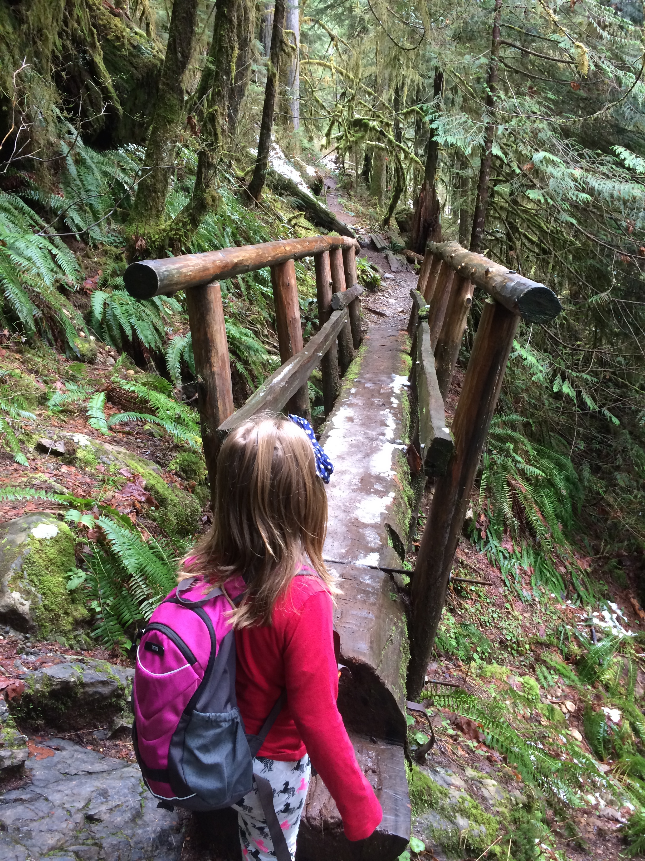
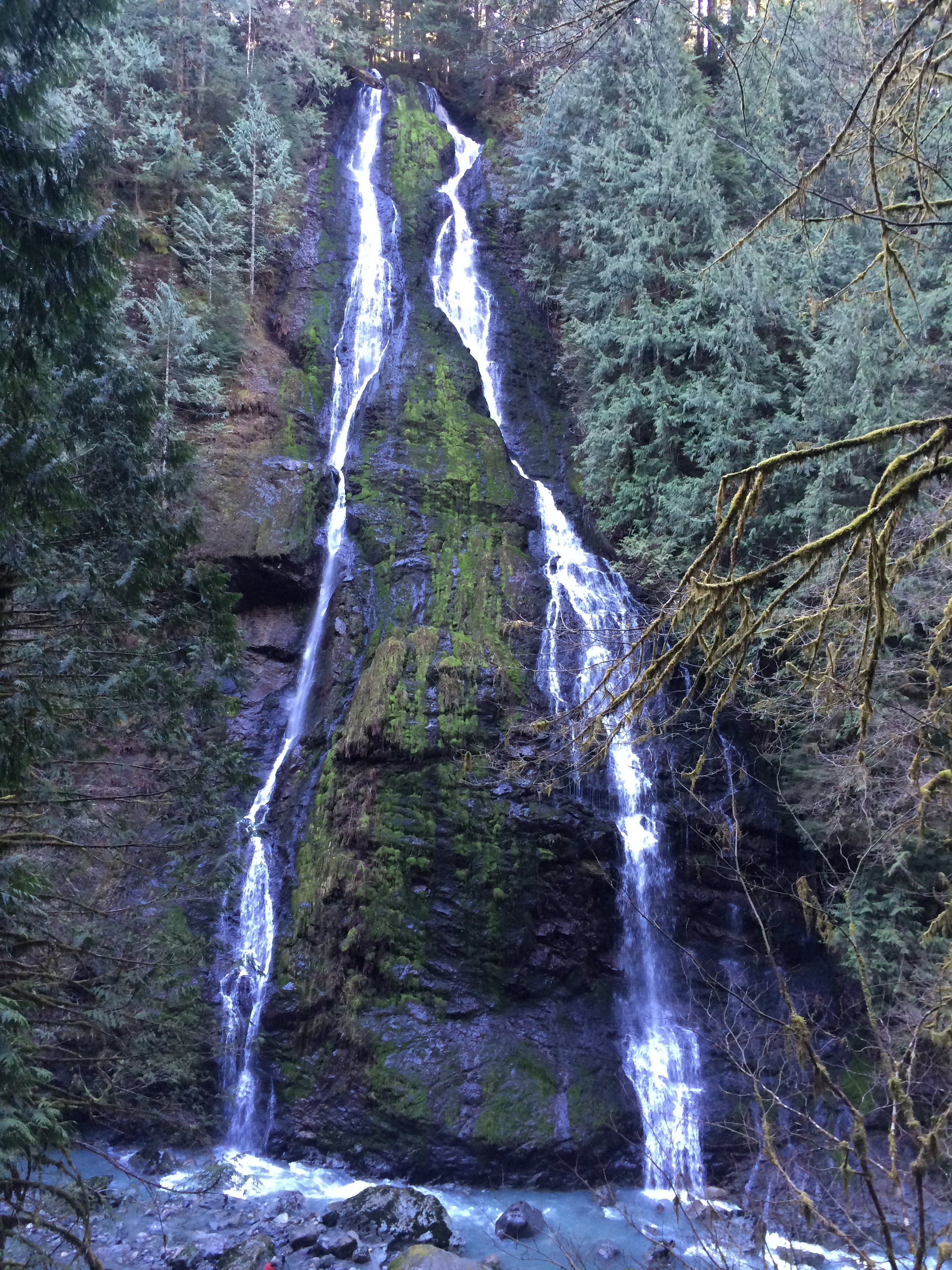

This has everything for your checklist! As you start the trail on a very old wagon route, you can hear the roar of Boulder River down below. The trail stays level with one major uphill portion nearing the river. Here the evidence of a wagon route disappears, and in this last portion of the hike leading up to the falls, you get a more standard trail. The falls is about 150 feet, and there are old growth trees above you if you look uphill. Amazing for all ages!
Continue up the old path that was the original route to a lookout on Three Fingers Mountain. The water and trees continue to amaze as you follow along until the trail drops a bit and stops at a campsite next to the river.
- Get there: Drive out of Arlington on Highway 530 towards Darrington. Just after the now historic mudslide area turn right on French Creek Road (milepost 41). The trailhead is at the end of this gravel road.
